← Blog Data
Data
Free company data for every town and sector
A new set of pages answers a simple question for any place in the UK: how many companies are here, what do they do, and where do they cluster. All of it drawn from the Companies House register, all of it free to read.
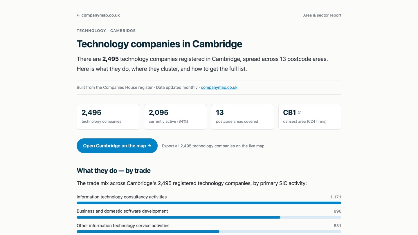
The map answers "where are the companies". The new area-and-sector pages answer "how many, and what kind". Each page covers one industry in one place: construction in Manchester, retail in Leeds, technology in Cambridge, and so on across the largest towns and cities.
Every page is computed from the live register, so nothing is guessed or padded. A page shows the total number of companies, how many are still active, the trades inside the sector, the postcode areas where they concentrate, and how incorporations have trended over recent years.
Built for the specific search
Most searches for company data are specific: a trade in a town, a sector in a city. These pages are made for exactly that, and each one links straight through to the same view on the live map, already framed on the area and filtered to the industry. From there the list can be counted and exported in a couple of clicks.
- Total and active company counts for the sector in that place.
- The main trades within the sector, ranked by number of companies.
- The postcode districts where the sector clusters, each a link into the map.
- A five-year view of how many companies were incorporated.
One dataset, many entry points
The register is the same underneath the map, the area pages and the exports. The difference is the way in. Someone who knows the postcode reaches for the map; someone searching for "engineering firms in Sheffield" lands on a page built for that question, then steps onto the map when they want to see or export the businesses themselves.